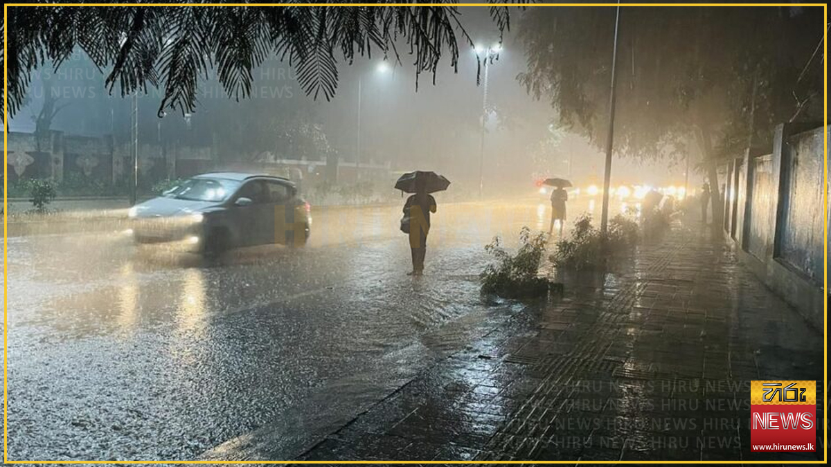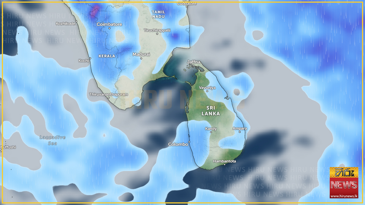
Rainy conditions over the south-western half of the island are expected to increase from Saturday, 19 September, the Department of Meteorology said, according to Hiru News.
Showers will occur at times in the Western, Sabaragamuwa and North-Western provinces and in the Galle, Matara, Kandy and Nuwara Eliya districts.
Fairly heavy falls of about 75 millimetres are likely at some places in Sabaragamuwa province and in the Kandy and Nuwara Eliya districts — enough to matter on the hill-country road network and for the catchments above the central reservoirs.
The department also expects showers or thundershowers after 2.00 p.m. in the Uva province, which it notes had previously been experiencing dry weather, and in the Mullaittivu, Batticaloa and Ampara districts.
The same system, two days running
The forecast follows a severe lightning advisory issued at 11.00 a.m. on Friday by the Natural Hazards Early Warning Centre, the Daily Mirror reported. That advisory warned of thundershowers with severe lightning at several places in the Uva and Eastern provinces and the Mullaittivu and Polonnaruwa districts, and expired at 11.30 p.m. the same day.
Neither outlet connects the two filings, but they overlap: Uva and Mullaittivu appear in both, and Batticaloa and Ampara are Eastern Province districts. The pattern is of convective activity that built over the east and Uva on Friday, with the Met Department now expecting the wetter conditions to extend across the south-west from Saturday.
The return of rain to Uva is the more consequential half. The department’s own wording marks it as a break in a dry spell there — relevant to a province that sits inside the drought-affected district counts reported this month.
Saturday also falls inside the ten-day window the department flagged on 16 September, when officials warned of widespread rain, landslides and floods under El Niño conditions and said October and November would be heavier still. Friday’s advisory and Saturday’s forecast are the first daily filings to land inside that window.
Standing lightning precautions
The advice issued with Friday’s advisory applies to any thunderstorm. The department urged the public to:
- seek shelter, preferably indoors, and not shelter under trees
- avoid open areas including paddy fields, tea plantations and open water
- avoid using wired telephones and appliances plugged into power outlets
- avoid travelling in open vehicles such as bicycles, tractors and boats
- watch for fallen trees and power lines after storms pass
Temporary localised strong winds may accompany thundershowers.
Update (September 19): a low-pressure area is forming near the Andamans
The Met Department has now named the system behind the wetter spell. An atmospheric disturbance north of the Andaman Islands in the Bay of Bengal is likely to develop into a low-pressure area within 24 hours, NewsFirst reported early on Saturday.
This answers the question Friday’s filings left open. Neither Hiru nor the Daily Mirror identified a driver for the forecast increase; the department has now attributed it to a developing Bay of Bengal system and extended the outlook from a single day to “today and over the next few days.”
A new marine warning
The more actionable addition is at sea, and it did not appear in Friday’s reporting at all.
Because of the system’s influence, wind speeds over the Bay of Bengal sea areas will increase from Saturday. In the sea areas off the coast from Matara to Pottuvil via Hambantota, winds may occasionally rise to 50–60 km/h.
The department has advised naval and fishing communities operating in those waters to be vigilant and to follow subsequent forecasts and bulletins. That stretch covers the entire southern and south-eastern coastline, including the Tangalle, Kirinda and Kudawella fishing grounds.
The rainfall figure has been revised down
The land forecast is otherwise unchanged — the same showers in the Western, Sabaragamuwa and North-Western provinces and the Galle, Matara, Kandy and Nuwara Eliya districts — with one difference worth noting.
Friday’s Hiru report gave fairly heavy falls of about 75 millimetres in Sabaragamuwa and the Kandy and Nuwara Eliya districts. Saturday’s NewsFirst report gives around 50 millimetres in the same areas.
The lower figure is the more recent one, issued on the morning the rain was due rather than the day before. Neither outlet flags the change, and the department has not explained it.
This paragraph has been superseded — see the revision below. Do not read 50mm as the operative figure.
Correction and update (September 19, evening): the figure has gone back up, to 100mm
The forecast has been revised a third time, and upward. Hiru News, filing on Saturday evening, now gives fairly heavy falls of about 100 millimetres at some places — double the morning’s figure and a third more than Friday’s day-ahead estimate.
The full sequence for the same forecast period now reads:
| Filed | Outlet | Heavy-fall figure | Areas named |
|---|---|---|---|
| Friday 18 Sept (day ahead) | Hiru | ~75 mm | Sabaragamuwa, Kandy, Nuwara Eliya |
| Saturday 19 Sept (morning) | NewsFirst | ~50 mm | Sabaragamuwa, Kandy, Nuwara Eliya |
| Saturday 19 Sept (evening) | Hiru | ~100 mm | Western province, Sabaragamuwa, Kandy, Nuwara Eliya |
Two things changed, not one. The figure doubled, and the Western Province was added to the heavy-fall zone for the first time — it had previously been listed only for ordinary showers. That brings the Colombo and Gampaha conurbation inside the 100mm area.
Readers should treat 100mm across the Western and Sabaragamuwa provinces and the Kandy and Nuwara Eliya districts as the current expectation. The department has not explained any of the three revisions, and no outlet has flagged that the figure moved at all, let alone twice in opposite directions inside a single day.
Hiru’s evening filing also carries the marine warning described above — 50 to 60 km/h winds and rough seas off the coast from Matara through Hambantota to Pottuvil — independently confirming it from a second newsroom.
A hundred millimetres over the Western province catchments is a materially different proposition from fifty over the hills alone, both for urban drainage in Colombo and for the reservoirs. The Irrigation Department’s “all rivers normal” reading recorded below was taken at 6.30 a.m., before the upward revision and before most of the day’s rain.
Update (September 19): the Irrigation Department reports, and one station sits 10cm below its alert level
The gap flagged below — no reading from the Irrigation Department — has closed, and the department’s own numbers qualify the headline the reporting gave them.
The Irrigation Department’s water level and rainfall situation report, issued at 6.30 a.m. on Saturday, found that water levels at all monitored major rivers remained within normal ranges, with no river above its alert, minor flood or major flood threshold, the Daily Mirror reported.
What actually fell
The highest rainfall in the preceding 21 hours was 42mm at Magura, in the Kalu Ganga basin. The leading falls:
| Station | Basin | Rainfall |
|---|---|---|
| Magura | Kalu Ganga | 42.0 mm |
| Deraniyagala | Seethawaka Ganga | 24.8 mm |
| Kithulgala | Kelani Ganga | 21.3 mm |
| Nawalapitiya | Mahaweli Ganga | 16.3 mm |
| Puttupaula | Kalu Ganga | 15.4 mm |
| Thawalama | Gin Ganga | 15.2 mm |
| Ratnapura | Kalu Ganga | 14.2 mm |
| Siyambalanduwa | Heda Oya | 11.8 mm |
| Glencourse | Kelani Ganga | 11.6 mm |
| Norwood | Kehelgamu Oya | 9.9 mm |
That is a useful check on the forecast. NewsFirst’s Saturday figure of around 50mm for Sabaragamuwa and the Kandy and Nuwara Eliya districts proved close: the wettest station, Magura, sits in the Kalu Ganga basin in Sabaragamuwa and recorded 42mm. Friday’s superseded 75mm estimate would have been well over.
The qualification the headline does not carry
“River levels normal” is accurate but uneven across the network, and one station is not far from a threshold:
- Magura, Kalu Ganga — 3.90 m against a 4.00 m alert level. Ten centimetres of margin, at the station that also recorded the day’s heaviest rainfall.
- Kithulgala, Kelani Ganga — 1.83 m against a 3.00 m alert and a 4.00 m minor flood level.
- Ratnapura, Kalu Ganga — 1.54 m against a 5.20 m alert level.
- Glencourse, Kelani Ganga — 10.13 m against a 15 m alert level.
Ratnapura and Glencourse have wide margins. Magura does not, and it is the station under the heaviest rain. The Daily Mirror does not single it out, and the department’s report does not say whether it is being watched.
The report covered 18 river basins: the Kelani, Kalu, Gin, Nilwala, Walawe, Kirindi Oya, Menik, Kumbukkan Oya, Heda Oya, Maduru Oya, Mahaweli, Yan Oya, Maa Oya, Malwathu Oya, Mee Oya, Deduru Oya, Maha Oya and Attanagalu Oya.
Not reported
Neither account gives the expected duration of the wetter spell beyond “the next few days”, says whether any reservoir or river basin is being watched, or carries a warning from the Disaster Management Centre. No outlet explains the revision from 75mm to 50mm. The department has not said whether the developing low is expected to track toward Sri Lanka or how it might affect the island beyond the increase in wind and rain already forecast, and no successor severe-lightning advisory had replaced Friday’s lapsed one at the time of writing.