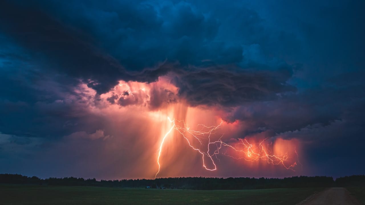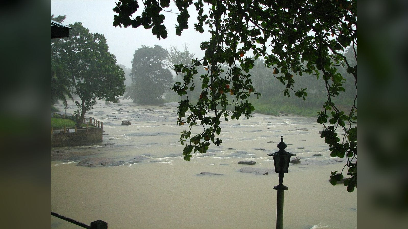
A total of 2,676 people from 762 families have been affected by adverse weather across Sri Lanka, the Disaster Management Centre said on Saturday, as the Irrigation Department opened the sluice gates of 40 major reservoirs.
Twenty-seven people from five families have been moved to safer locations, NewsFirst reported, citing the centre.
Rivers at flood risk
The Irrigation Department said the Nilwala Ganga at Thalgahagoda remains at minor flood level, with the river still flowing at flood-risk level. The Gin Ganga at Baddegama and the Kalu Ganga at Millakanda are also at flood-risk level.
The department urged people living in low-lying areas to remain vigilant.
Red alert offshore
The Department of Meteorology has advised fishing and naval communities not to venture into the South-East Bay of Bengal from Saturday until further notice. A red alert has been issued for strong winds and rough seas, tied to the development of a low-pressure area in the region.
That advisory extends the warnings issued on Friday, when the system over the Bay of Bengal reached depression stage a day earlier than forecast and fishing was banned off the north and east.
Update, 16 November: eleven deaths since 1 November
The Disaster Management Centre has now given a death toll for the current spell of adverse weather. Eleven people have died since 1 November, NewsFirst reported on Monday morning:
- eight by drowning
- two by electrocution
- one after the collapse of a wall at a residence
That answers the gap flagged below, where Saturday’s filing reported no deaths or injuries at all.
The rest of the Monday filing restates Saturday’s figures unchanged: 2,676 people from 762 families, across 105 Divisional Secretariat divisions in 18 districts. Because the headline totals have not moved in two days, they read as the centre’s running cumulative count for the spell rather than a fresh daily tally — and this update should not be read as a new or separate escalation.
The death toll is also cumulative from 1 November, so it spans a longer window than the affected-persons figure and includes deaths from earlier in the month, among them the period covered by Cyclone Arnab. Neither filing says how the two counting periods relate.
What the filing does not establish
The report gives island-wide totals only. It does not break the 2,676 figure down by district, say how many houses have been damaged, or report any injuries. It does not name the 40 reservoirs whose gates have been opened, give their water levels or discharge rates, or say how many people live downstream of them.
On the deaths, Monday’s filing gives no district breakdown, no dates for individual deaths, and no ages or names. It does not say whether the eight drownings were in flood water, rivers or the sea, or where the wall collapse occurred.
It also does not state how long the red alert is expected to hold, or whether the low-pressure system is the same Bay of Bengal depression that prompted Friday’s fishing ban — the filing describes it only as “a low-pressure area in the region”.
Separately, the Irrigation Technical Assistants’ Association said its members will withdraw from daily water operations and the provision of rainfall data from 15 to 17 November in a dispute over budget allowances.
No other reachable verified newsroom had carried the Disaster Management Centre’s Saturday figures at the time of writing.