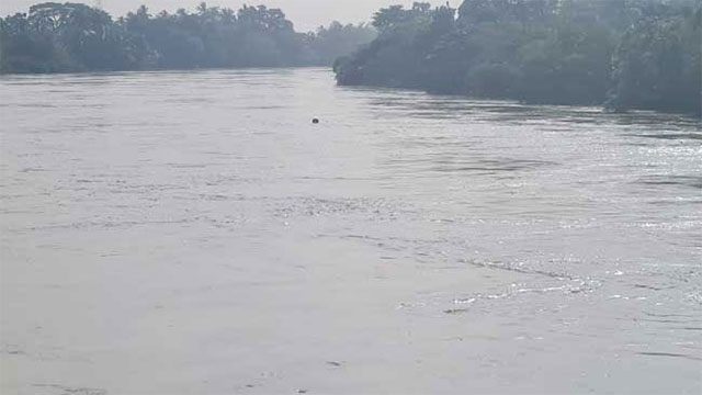
The Irrigation Department has warned that a major flood situation is likely to develop within the next 24 hours in low-lying areas along the Kelani River, escalating an alert that stood at minor-flood level two days ago.
The warning covers low-lying land in the Dehiowita, Ruwanwella and Yatiyantota Divisional Secretariat divisions, in the Kegalle district.
The department said high-intensity rainfall has already fallen across the upper and middle catchment areas of the Kelani basin and that river gauges it maintains within the basin are recording rising levels. With the wet spell continuing and forecasts pointing to further heavy falls, it warned that water levels could rise rapidly and without warning.
Residents in the affected areas, people using the river and motorists travelling through the region have been told to exercise extreme caution. Disaster management authorities have been asked to take precautionary measures.
Kalu Ganga also rising
The Irrigation Department issued a second warning for the Kalu Ganga, saying a minor flood situation is possible in low-lying floodplain areas within a few hours.
That alert applies to the Pelmadulla, Nivithigala, Ratnapura, Kuruwita, Ayagama and Elapatha Divisional Secretariat divisions of the Ratnapura district. Residents, motorists and passengers moving through those areas have been urged to stay alert.
The Kalu Ganga had already reached its six-foot flood threshold at the Pulugupitiya gauge earlier on Monday, with low-lying land at Mudduwa and Ethoya under water and the Ratnapura–Alupotha road submerged.
An escalating day of warnings
Monday’s Kelani alert is the third major river warning issued in the space of hours. The Irrigation Department earlier placed ten Divisional Secretariat divisions along the Mahaweli under a Red major-flood alert valid for 48 hours, and the National Building Research Organisation issued Red landslide evacuation warnings for six divisions in Kandy, Kegalle and Nuwara Eliya — Yatiyantota among them, placing that division under both a landslide and a flood warning at once.
The Kelani basin has been under an active alert since Saturday, when a minor flood warning was issued for the valley as the Canyon Reservoir began spilling.
Rainfall in the 24 hours to 6.00 a.m. Monday topped 200 mm at Watawala and reached 140.8 mm at Kitulgala in the Kegalle district, in the Kelani catchment. Main roads across the central hills were closed or blocked through the day, with traffic on the Yatiyantota–Bulathkohupitiya road halted after the Parussella embankment bridge went completely under water.
Update (August 4): warnings withdrawn
The Irrigation Department has withdrawn the flood warnings for both the Kelani and Kalu river basins after water levels declined, Ada Derana reported on Tuesday evening.
The department said river levels have returned to normal and the warning notices have therefore been cancelled.
Setting out the sequence, it said the Kelani warning was issued on Monday at 1.30 p.m. when levels indicated a major flood situation, while minor flood conditions were recorded in the Kalu River at 2.00 p.m. and in the Kelani at 3.30 p.m.
The Hydrology and Disaster Management Division said it continues to monitor rainfall patterns and river level fluctuations across the island, and will issue early warnings if any fresh flood risk emerges.
The withdrawal does not end the wider weather emergency. The Disaster Management Centre’s evening situation report put the death toll at eight with 11,832 people affected across nine districts, and the Met Department forecast further falls above 75 mm in Sabaragamuwa and the Kandy and Nuwara Eliya districts on Wednesday.